Precision-engineered UAV solutions that facilitate data-driven decision making across surveying, inspection, and research applications.

FACTS Aerial Solutions is a professional drone services provider specializing in aerial imaging, mapping, inspections, and risk assessment. Led by a certified Part 107 pilot with training in land navigation, hazard identification, and community risk reduction, FACTS delivers solutions designed to support safer environments and smarter decisions.
We deliver high-quality aerial imaging solutions that go beyond the shot, turning raw data into actionable insight that helps clients make smarter, faster decisions.
Schedule a Consultation
Reserve time with a technical advisor to evaluate mission requirements, airspace considerations, and integration timelines.

Services Offered
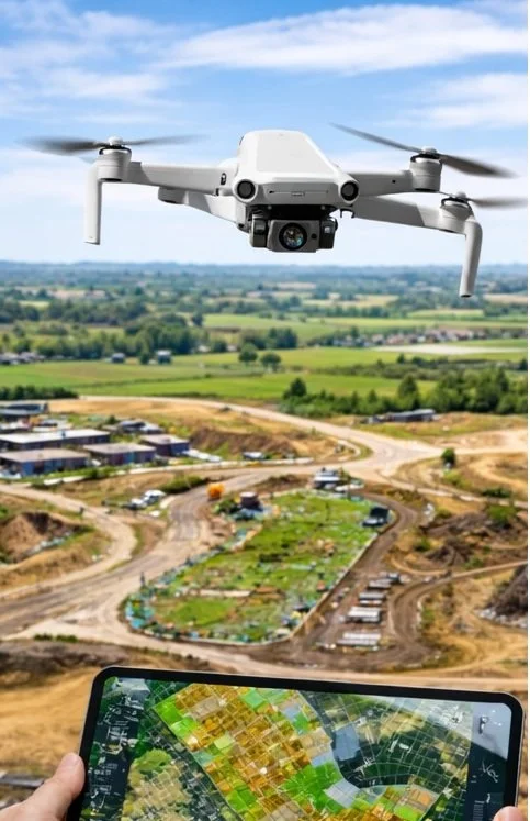
MAPPING
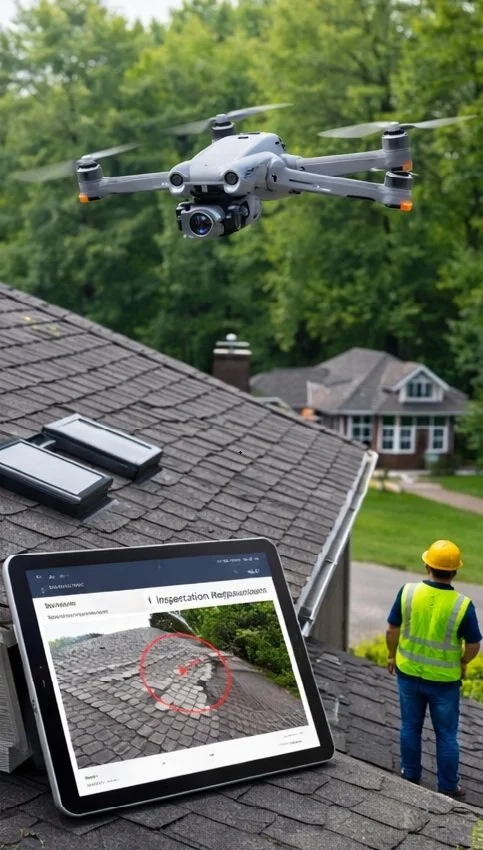
ROOF SURVEYS
INFRASTRUCTURE
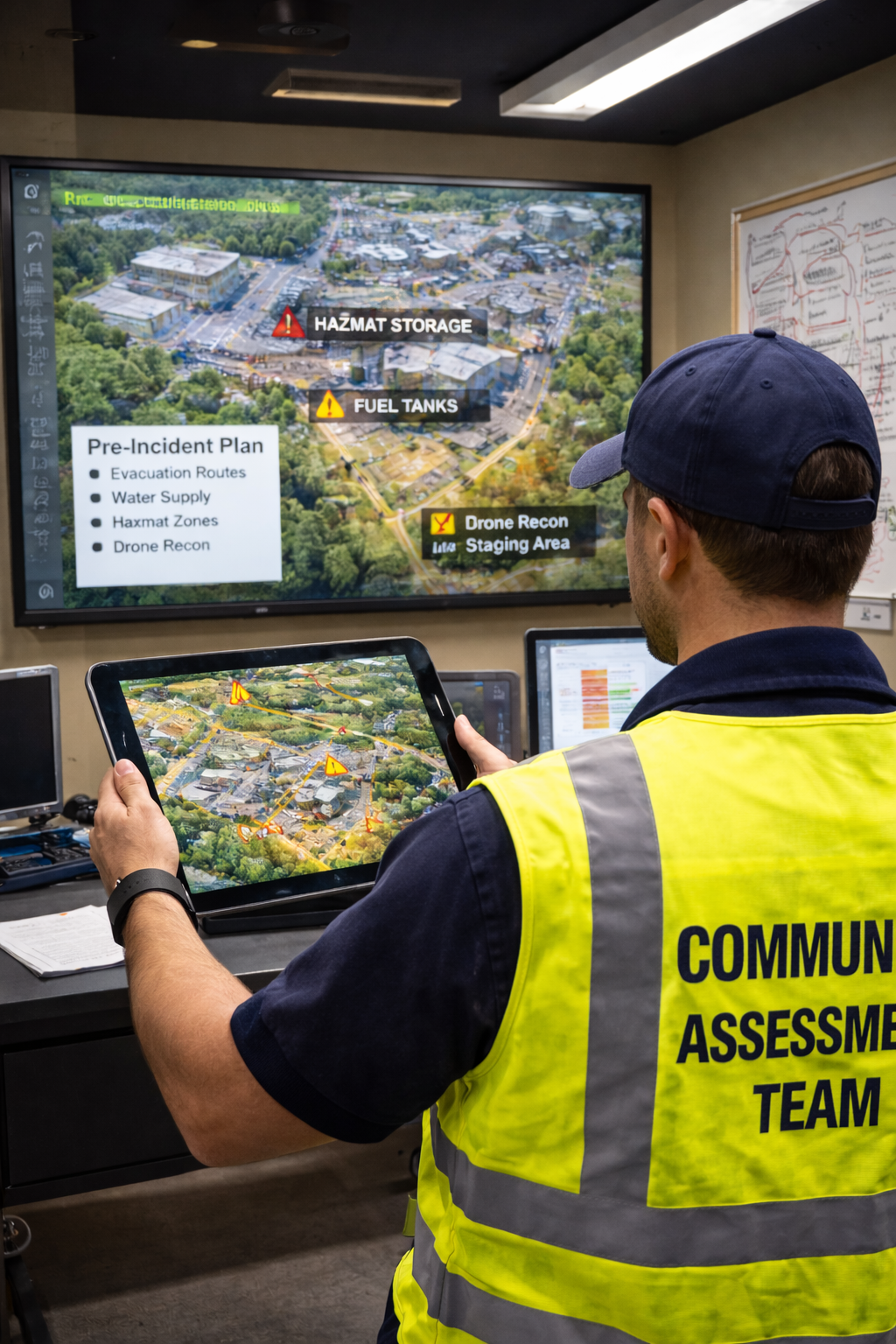
PRE-PLANNING
Submit a Project Inquiry
Provide mission objectives and technical parameters to initiate a tailored consultation.